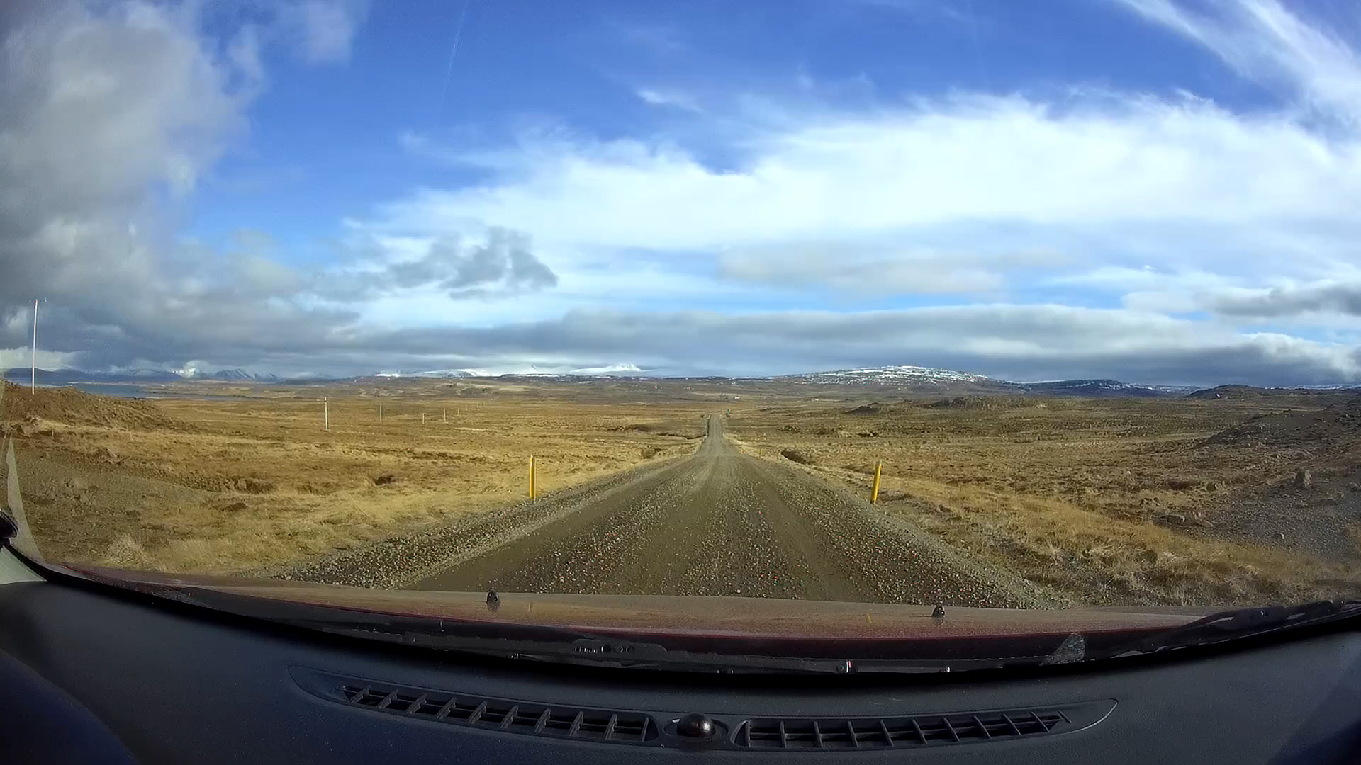
1 April 2017
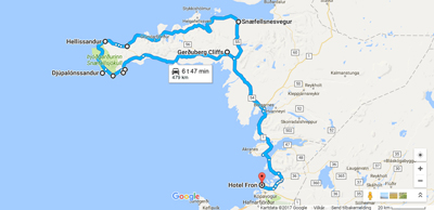
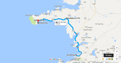
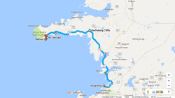
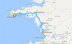
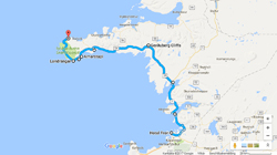
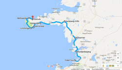
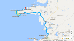
This day I drove around the Snæfellsjökull national park (Þjóðgarðurinn Snæfellsjökull), with several stops: 493 km (306 miles) from 8:00 am to 8:00 pm!
Hvalfjarðargöng
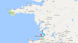
Hvalfjarðargöng (Whalefjord tunnel) opened 1 July 1998. 5770 meters (3.6 miles) long, 165 meters (541 feet) deep.
The tunnel was the first sub-sea tunnel in the world to be drilled through young basalt in a geothermal area. The rock layers it penetrates were formed in eruptions 2.8 to 3.3 million years ago. Volcanic activity has long since stopped, but the temperature of the tunnel rock ranges from 10ºC (50ºF) to 30ºC (86ºF), but reaching 57ºC (135ºF) in one part of the southern section under the construction.
Toll road: 1000 ISK, 77 NOK / 9 EURO / 9 USD.
Borgarfjarðarbrú
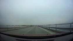
I am now crossing Borgarfjarðarbrú, the second longest bridge in Iceland; 520 meters (1706 feet) long, opened 13 September 1981.
Borgarnes
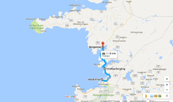
Borgarnes is first noted in Egil’s Saga, but in the saga it is called Digranes. The first Settler to live here was called Grani, a shipmate of Skallagrímur, the first landlord and settler of the Borgarfjörður-area. There is no known history of settlement in Borgarnes after Grani’s days until the 19th century. The Danish King authorized Borgarnes as a trading place in 1861, and was officially a town in 1913, under the name Borgarneshreppur. Around 1900 inhabitants.
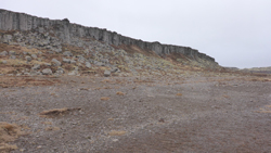
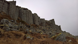
Gerðuberg Cliffs
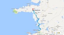
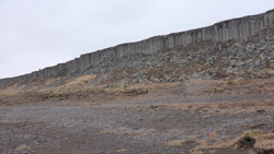
Gerðuberg Cliffs is a 500 meters (1640 ft) long basalt cliff. Height: mostly 12-14 meters (39 – 46 feet).
Búðir og Búðakirkja

Búðir is a cluster of old buildings, a hotel, Hotel Búðir, and small church, Búðakirkja.
The original old house burned down on 21 February 2001, and had to be completely rebuilt. There has been a church here since 1703. This church was reconstructed in 1987.
The original function for Búðir was main trading port for Snæfellsnes and the area here in these surroundings.
Arnarstapi
Watch film from Arnarstapi and Hellnar here!
Arnarstapi – or just Stapi is a small fishing village.
In Jules Verne’s A Journey to the Center of the Earth, Arnarstapi, or just Stapi is the last stop on the route the protagonists take before they climb Snæfellsjökull and enter the interior of the planet though a tunnel in the crater.
Watch film from Arnarstapi and Hellnar here!
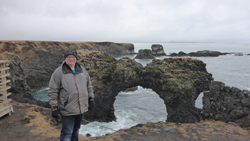
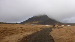
Hellnar
Watch film from Arnarstapi and Hellnar here!
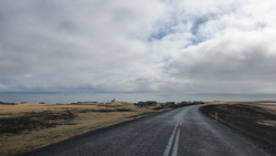
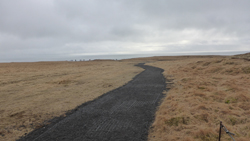
TThe village of Hellnar can in all probability trace its function as a major port of call back to the Middle Ages, and the oldest written sources, dated 1560, describes Hellnar as a fishing port.
Lóndrangar
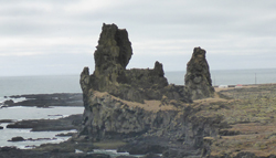
Lóndrangar is volcanic plugs of basalt. And are remnants from a bigger crater which has mostly eroded away.
Snæfellsjökull national park
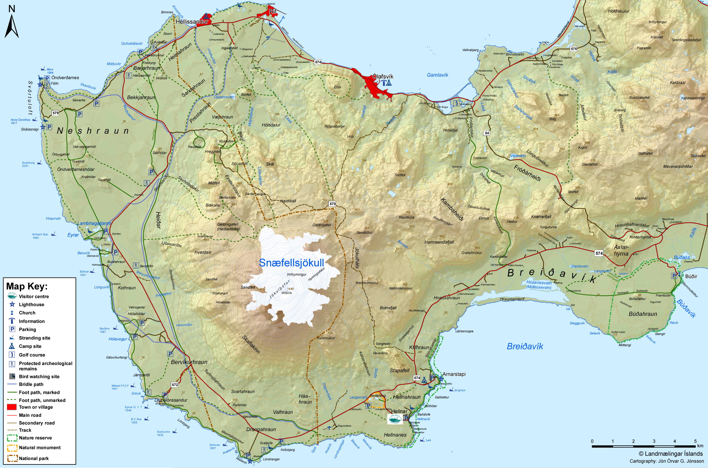
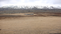
The glacier Snæfellsjökull is located on top of a 700 000 year old volcano. With a height of 1446 meters (4744 feet) above sea level it is the highest mountain on the peninsula, and has a glacier on the top. On clear days you may see the volcano from Reykjavik, a distance of 120 km (75 miles). The mountain is also known from the novel “Journey to the Center of the Earth” (French: Voyage au centre de la Terre) by the French author Jules Verne. Snæfellsjökull became a national park in 2001, og 170 km2 (66 sq miles).
Hellisandur
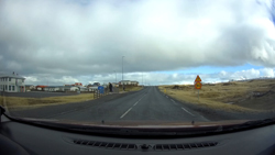
Once an important fishing port. Today tourism is important. There is a maritime museum.
round 550 inhabitants.
Ólafsvík
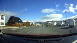
Back in the 17th and 18th centuries, commercial vessels sailed between Ólafsvík and Denmark, and the village was one of the larger trading ports in Iceland. Ólafsvík became a certified trading place, authorized by the Danish King and Danish authorities, in 1687. Just over 1000 inhabitants.
Kirkjufell
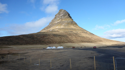
This is the mountain Kirkjufell, which means Church Mountain. It is 463 meters (1519 feet) high.
I have seen that the tourist industry here in Iceland uses this mountain in their promotion and marketing of the country.
Grundarfjörður
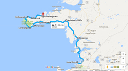
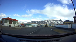
This small town, or village, received right to do commerce in 1786. Around 1800, French merchants came to Iceland and lived in Grundafjörður, where they constructed a church and a hospital.
Around 900 inhabitants.
The northern part of Snæfellsnes
